Ditch the GPS: How Kansai Locals Actually Find Their Way Around
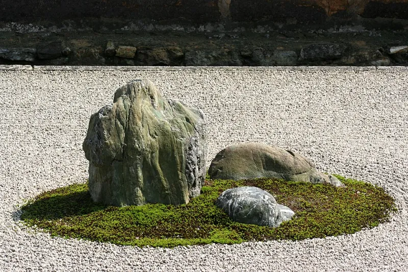
Photo: Dr. Ondřej Havelka (cestovatel), CC BY 4.0, via Wikimedia Commons
Here's a scenario every first-time visitor to Kansai knows well: you're standing on a corner in Kyoto, phone pointed at the sky, waiting for Google Maps to figure out which direction you're facing. A local walks past you at a confident clip, no phone in hand, disappearing down an alley you didn't even notice was there. Two minutes later, you're still rotating in place.
The difference between you and that local isn't just familiarity. It's a completely different mental model of how urban space works. Kansai's cities—Kyoto, Osaka, Nara, Kobe—each have their own internal logic, and once you understand how residents actually think about movement and place, the whole region clicks into focus in a way no navigation app can replicate.
Kyoto's Grid Is Your Friend (If You Respect It)
Kyoto is one of the rare Japanese cities that actually has a legible grid, borrowed from the ancient Chinese capital of Chang'an. Streets run north-south and east-west in a fairly consistent pattern, and locals navigate by naming intersections rather than addresses. You'll hear directions like Kawaramachi Sanjo agaru—which roughly translates to "go north from the intersection of Kawaramachi and Sanjo." The verbs agaru (go up/north), sagaru (go down/south), higashi-iru (go east), and nishi-iru (go west) are the compass points of everyday Kyoto life.
For American visitors, think of it less like a street address and more like how New Yorkers say "corner of 5th and 42nd." Once you start listening for intersection names instead of street numbers, Kyoto's directions suddenly make sense. Write a few of these intersection combos down before you head out—they're more useful than any pin on a map.
Osaka Doesn't Work That Way—And That's Fine
Osaka throws the grid out the window. The city grew organically around its port and river systems, and the result is a layered, slightly chaotic urban fabric that rewards instinct over planning. Locals here navigate by neighborhood anchors: a particular covered shopping arcade (shotengai), a famous takoyaki stand on a specific corner, the entrance to a subway station everyone uses as a meeting point.
The Namba and Shinsaibashi areas are classic examples. Tourists follow the main boulevard; locals cut through the covered arcades running parallel to it, popping out at exactly the right cross street without ever looking at a phone. These arcades—Shinsaibashi-suji, Amerika-Mura's backstreets, the shotengai near Tsuruhashi—function as social corridors. They're not shortcuts in the time-saving sense; they're the actual street life of the city.
If you want to move like an Osaka local, pick one covered arcade per neighborhood and walk its full length. Note every side exit. You'll start to build a mental map that's way more useful than satellite view.
The Landmarks That Don't Show Up on Google
In both cities, real wayfinding depends on hyper-local landmarks that never make it onto tourist maps. A coin laundry with a distinctive orange sign. A vending machine that's been on the same corner for thirty years. The smell of tofu from a particular shop that means you're one block from the temple you want.
This sounds abstract until you start paying attention. Japanese urban life is incredibly consistent—the same shops stay in the same spots for decades, and residents build entire mental navigation systems around them. When a local tells you "turn left at the konbini," they mean a specific konbini that everyone in the neighborhood knows, not just any convenience store.
As a visitor, you can hack this system by walking your intended routes the day before you actually need them. Do a dry run without a destination in mind. Note the weird little details—the shrine gate half-hidden behind a parking lot, the old shotengai that dead-ends into a residential block, the sudden quiet that tells you you've crossed from commercial into neighborhood territory. Those details become your personal landmark library.
Alleyways Are Infrastructure, Not Sketchy Shortcuts
One of the biggest mental shifts for American visitors is understanding that narrow alleyways in Kansai are legitimate thoroughfares, not spaces to avoid. The roji (small lanes) of Kyoto and the yokocho (side alleys) of Osaka are where a huge percentage of daily life happens. Restaurants, workshops, tiny bars, tofu shops, flower arrangers—they're all tucked into these lanes, and locals walk them constantly.
The rule of thumb: if an alley has a drain, it's walkable. If there are potted plants outside doorways, people live and work there and you're welcome to pass through. The ones that feel residential deserve a quieter pace and less gawking—basic courtesy goes a long way. But don't mistake "narrow" for "private." Most of these lanes are public paths that have existed longer than the buildings around them.
Reading the Social Geography of a Block
Kansai neighborhoods have a social topography that's worth learning to read. In Kyoto especially, you'll notice that certain streets shift from tourist-facing to local-facing within a single block. The tell-tale signs: menus without English, prices that drop noticeably, fewer people taking photos. That's your cue that you've crossed into actual neighborhood territory.
In Osaka, the transition is more about noise level and foot traffic density. The city's famous energy doesn't disappear in residential areas—it just changes character. You'll hear kids, smell laundry, see elderly residents doing their morning routines. Moving through these zones with awareness (not intrusion) is what separates a traveler from a tourist.
A Few Practical Moves to Try Right Now
If you want to start navigating Kansai like a local, here's a short playbook:
- Learn your cardinal directions in Japanese. Kita (north), minami (south), higashi (east), nishi (west). Locals use these constantly, and knowing them lets you follow verbal directions without pulling out your phone.
- Pick a subway exit and own it. Every major station has multiple exits, and locals always know which one deposits them closest to their destination. Spend thirty seconds before you surface figuring out which exit to use—it'll save you a disorienting spin on the street.
- Walk one neighborhood per day without a specific goal. Give yourself a rough boundary and just move through it. You'll absorb spatial logic faster than any amount of map-staring.
- Ask for directions from shop owners, not passersby. A local shopkeeper will give you landmark-based directions that actually work. A random pedestrian in a hurry might just point vaguely.
Kansai's cities are genuinely designed for human-scale navigation—they've been walked for centuries before smartphones existed. The infrastructure of daily movement is baked into the streets themselves. You just have to slow down enough to read it.